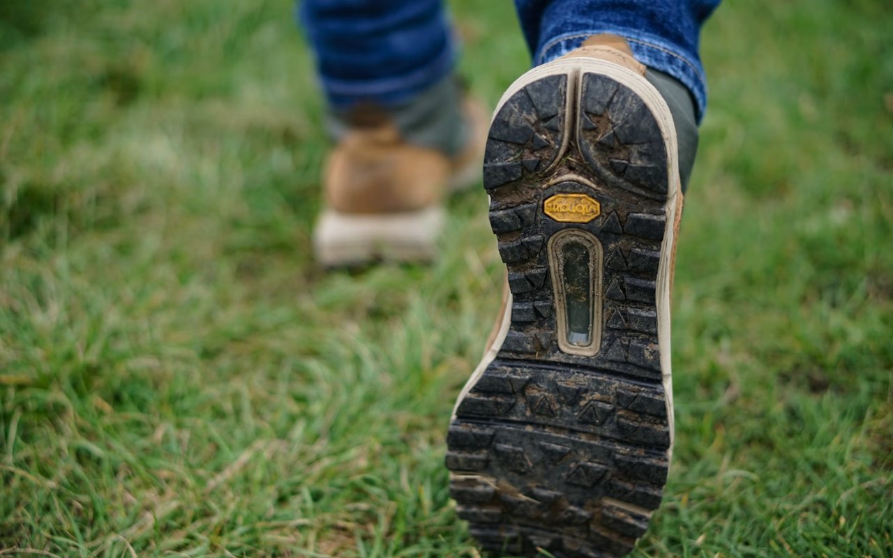
Lake Travis, Texas, offers some of the most delightful hiking in the Hill Country, combining rugged terrain, winding creeks, and scenic lake views. For those who yearn for trails that balance challenge and serenity, several favorites stand out. These hikes are perfect for outdoor lovers seeking accessible trails with memorable features and well-preserved natural beauty. Below are a few top hiking trails in Lake Travis that hikers will truly love.
Pace Bend Park Loop
Post Oak and Rosenbush Loop
Hamilton Greenbelt (Lakeway)
Westbank Trails and Hidden Paths
What to Know Before You Hike
Paths That Stay with You
Find Your Trailside Home with Travis Real Estate
Ready to enjoy the lifestyle that makes Lake Travis so special? From scenic hiking trails and lakefront adventures to stunning homes with Hill Country views, explore the best of Lake Travis living. Contact John Lairsenof Travis Real Estate today for expert guidance on Lake Travis, TX real estate and find your perfect home near the trails you love.
Lake Travis Hiking: Rules, Reservations and Conditions to Check First
The trails above are a good start. This section adds what changes your plans on the day: reservations, fees, leash rules, closures and the water levels that shape shoreline trails. It also adds a few more places to hike near the lake, using county, city and LCRA sources. If trail access is part of your home search, browse Lake Travis homes for sale, and John Lairsen can help you compare areas.
Trail Snapshot: Who Manages Each Area and What to Check
Area | Managed by | Check before you go |
|---|---|---|
Pace Bend Park, 2805 Pace Bend Road North, Spicewood | Travis County Parks | The county describes miles of hike, bike and equestrian trails. The entrance booth accepts cash but not credit or debit cards, and prescribed burns can close sections of the park. |
Hamilton Pool Preserve, Dripping Springs | Travis County Parks | Reservations are required every day, with photo identification on arrival. The trail to the pool is a quarter mile, and swimming is never guaranteed. |
Smith Greenbelt and Hamilton Greenbelt, Lakeway | City of Lakeway | The Smith Greenbelt follows Hurst Creek and is primitive but well maintained. Dogs must be leashed. The main entrance is off Lohman’s Crossing, next to the Lakeway Police Department. |
Sources: Travis County Parks, Pace Bend Park; Travis County Parks, Hamilton Pool Preserve; City of Lakeway, Smith Greenbelt; Community Impact (prescribed burns at Pace Bend). Fees, hours and closures change.
Hamilton Pool Preserve: A Reservation, Not a Walk-Up
Hamilton Pool sits west of Lake Travis near Dripping Springs, and many Lake Travis hikers add it to a weekend. Plan ahead, because the preserve works differently from a trailhead.
Reservations every day
Travis County Parks says reservations are required every day of the year, and only reservations made on its official site are guaranteed. Bring photo identification.
Swimming is not guaranteed
The county says water access depends on factors such as bacteria levels and recent rain, and news reports describe rocks falling near the pool. The preserve stays open for hiking even when swimming is closed.
Closures happen
The county says the preserve occasionally closes for hazardous conditions such as flooding, and it has closed the stretch of trail under the overhanging cliff, according to Destination Dripping Springs.
Sources: Travis County Parks; KXAN; Destination Dripping Springs. Confirm conditions on the county site before you drive out.
More Trails in Lakeway
The Hamilton Greenbelt is covered above. Right next to it, the Smith Greenbelt is a short, primitive trail along Hurst Creek on 4.5 acres donated by Coleman and Mary Smith, according to the City of Lakeway. It is also used for mountain biking and works as a shortcut between Lohman’s Crossing and Lakeway Drive.
Parking
The main Smith Greenbelt entrance is across the street from the Hamilton Greenbelt trailhead and parking lot, and visitors may use either that lot or the police department lot. The Lakeway Drive entrance has no parking.
Route length varies
Published distances for the Hamilton Greenbelt differ because several trails connect. The post above lists a 2.7-mile out-and-back, and other trail sites list longer routes, so check the trail map for your planned loop.
Pace Bend Park: Practical Rules
Cash at the booth
The county’s Pace Bend page says the entrance booth accepts cash but does not accept credit or debit cards. Check the page for current fees before you go.
Leashes
Travis County’s rules for a recent Pace Bend event say pets must be on a leash. Check the park page for current rules.
Burns and closures
Travis County Parks has conducted prescribed burns at Pace Bend to reduce wildfire danger, and areas such as west-side coves can close during them.
Getting around
The county says most of the park is reachable by vehicle from a six-mile paved road that loops the park, with trails leading into the hills.
Sources: Travis County Parks, Pace Bend Park page and event rules; Community Impact. Trail lengths in the post above come from outside sources, so use the county trail map.
Water Levels and Flash Floods Shape the Trails
681 ft
Lake Travis is considered full at this level, per LCRA
776,000
Acre-feet of extra flood storage above full pool, per LCRA
38 ft
Rise reported after early July 2025 rain, per Community Impact
Sources: LCRA, flood and lake level information; Community Impact (August 2025). Current levels are posted by LCRA.
LCRA says Lake Travis is designed to fluctuate and that the Highland Lakes sit in “Flash Flood Alley,” a region prone to flash floods because of steep terrain, shallow soil and heavy rainfall. For hikers, that means shoreline sections can be underwater after storms, and creek crossings on trails such as the greenbelts can rise quickly. Check recent rain and lake levels before you go, and skip creek crossings when water is high.
Dog Walking Near Lake Travis
Dog-walking searches are common. In the places we checked, dogs are welcome on a leash. The City of Lakeway says dogs on the Smith Greenbelt must be leashed, and Travis County’s Pace Bend event rules say pets must be on a leash. Rules differ by site, so read each park’s page, and consider the heat, since limestone trails get hot. For dog-friendly stops afterward, see our guide to pet-friendly restaurants in Lake Travis.
Plan a Lake Travis Hike in Five Steps
Pick the place and check its rules
Decide between a county park, the Lakeway greenbelts or Hamilton Pool, and read the managing agency’s page for reservations, fees and closures.
Check the weather and the water
Look at recent rain and LCRA lake levels, especially for creek crossings and shoreline routes.
Bring cash, water and a map
Pace Bend’s booth takes cash, trail lengths vary by source, and shade is uneven.
Arrive early
The post above notes that parking can fill at popular trailheads. Hamilton Pool uses reserved visits.
Leash, pack out and stay on the trail
Follow each park’s rules for pets and wildlife.
Homes Near Lake Travis Trails and Parks
Lake Travis
Browse Lake Travis homes for sale and read the Lake Travis community guide.
Spicewood and Pace Bend
See the Spicewood guide, buying a second home in Spicewood and how Lake Travis came back full.
Hill Country
Explore the Hill Country guide and the Texas Hill Country guide.
Parks and outdoors
Read the best parks in Lake Travis, top outdoor activities and fishing on Lake Travis.
Choosing a community
Compare areas in how Lake Travis communities differ and 7 best neighborhoods to live in.
Nearby areas
See Lago Vista, Lake Austin and West Lake Hills.
Explore More With Travis Real Estate
Start with Lake Travis homes for sale, or follow any link below.
- Meet John Lairsen
- Meet the team
- Our listings
- Notable sales
- Testimonials
- Home valuation
- Buying with us
- Selling with us
- All neighborhood guides
- Living in Lake Travis
- Moving to Lake Travis
- Buying a home in Lake Travis
- Building a house in Lake Travis
- Weekend trips from Lake Travis
- Best coffee shops in Lake Travis
- Lake Travis through the seasons
Lake Travis Hiking Questions
Do I need a reservation to hike Hamilton Pool Preserve?
Does Pace Bend Park take credit cards at the entrance?
Are dogs allowed on Lake Travis trails?
Can I still hike Hamilton Pool when swimming is closed?
How long is the Hamilton Greenbelt?
Why do Lake Travis creek trails flood so quickly?
Where can I live near Lake Travis trails?
FAQ answers draw on the sources listed in the sections above. Fees, reservations, closures and lake levels change, so confirm with the managing agency before you go.
Ready to live near the trails?
Browse current listings, request a valuation of a home you own, or talk with John Lairsen and the team about your plans.